|
<< Click to Display Table of Contents >> Navigation: EQuIS Library > Reports > EarthSoft Standard Reports > Water Level Reports > Water Level Information |
Report Name: Water Level Information (example)
File Name: EarthSoft.Reports.Library.53582.dll
Dependencies: N/A
Software: EQuIS Professional and EQuIS Enterprise
Source: EQuIS Professional install
Language: English
Output Type: Excel1
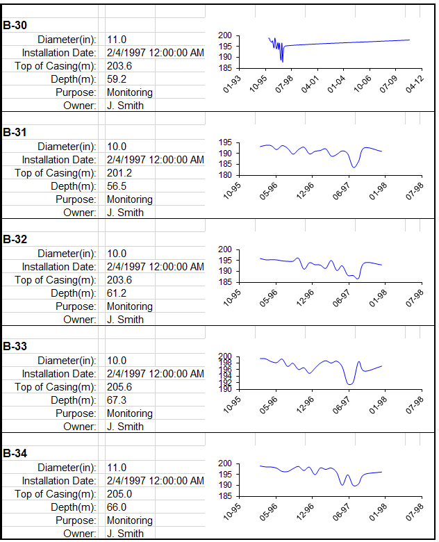
Description: The Water Level Info Report generates water level (DT_WATER_LEVEL.EXACT_ELEV) data of selected locations in the form of graphs, plus other location information such as well diameter, installation date, top of casing, depth, purpose and owner.
Installation Instructions: This report assembly is part of the EQuIS Professional installation. No additional installation steps are necessary.
Overview:
Tables: DT_WATER_LEVEL, DT_WELL, RT_ANALYTE_DETAIL, DT_LOCATION, RT_GROUP, RT_GROUP_MEMBER, VW_LOCATION, VW_WELL
Report Parameters |
||||||||
|---|---|---|---|---|---|---|---|---|
|
||||||||
* This report includes hidden parameter: Output File Type |
Report Output |
|---|
Excel spreadsheet |
1Excel report output requires a valid license of Microsoft Excel to view the output.
Copyright © 2022 EarthSoft, Inc • Modified: 25 Nov 2021